Cowhills and Peterhead Power Station
Introduction
The photograph on this page of Cowhills and Peterhead Power Station by Anne Burgess as part of the Geograph project.
The Geograph project started in 2005 with the aim of publishing, organising and preserving representative images for every square kilometre of Great Britain, Ireland and the Isle of Man.

There are currently over 7.5m images from over 14,400 individuals and you can help contribute to the project by visiting https://www.geograph.org.uk
Cowhills and Peterhead Power Station
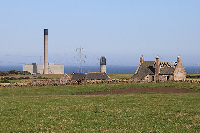
Image: © Anne Burgess Taken: 26 Aug 2019
There's a sharp contrast between the ruinous house at Cowhills and the looming chimneys of the power station.
Images are licensed for reuse under creativecommons.org/licenses/by-sa/2.0
Image Location
Latitude
57.472375
Longitude
-1.826754