Looking towards Upper Auchnamoon
Introduction
The photograph on this page of Looking towards Upper Auchnamoon by Anne Burgess as part of the Geograph project.
The Geograph project started in 2005 with the aim of publishing, organising and preserving representative images for every square kilometre of Great Britain, Ireland and the Isle of Man.

There are currently over 7.5m images from over 14,400 individuals and you can help contribute to the project by visiting https://www.geograph.org.uk
Looking towards Upper Auchnamoon
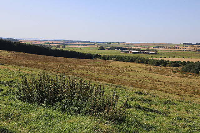
Image: © Anne Burgess Taken: 26 Aug 2019
Upper Auchnamoon is in the next square, but all the land in the foreground is in this square. The lower part of it looks wet, rushy and difficult to cultivate.
Images are licensed for reuse under creativecommons.org/licenses/by-sa/2.0
Image Location
Latitude
57.59408
Longitude
-2.277511