Field west of Shipley Bridge Lane
Introduction
The photograph on this page of Field west of Shipley Bridge Lane by Robin Webster as part of the Geograph project.
The Geograph project started in 2005 with the aim of publishing, organising and preserving representative images for every square kilometre of Great Britain, Ireland and the Isle of Man.

There are currently over 7.5m images from over 14,400 individuals and you can help contribute to the project by visiting https://www.geograph.org.uk
Field west of Shipley Bridge Lane
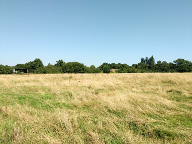
Image: © Robin Webster Taken: 26 Aug 2019
Public footpath 1W follows the field edge off to the left and along the far hedge to the lane to the right.
Images are licensed for reuse under creativecommons.org/licenses/by-sa/2.0
Image Location
Latitude
51.140767
Longitude
-0.133647