Stream junction, Wellfield Copse
Introduction
The photograph on this page of Stream junction, Wellfield Copse by Robin Webster as part of the Geograph project.
The Geograph project started in 2005 with the aim of publishing, organising and preserving representative images for every square kilometre of Great Britain, Ireland and the Isle of Man.

There are currently over 7.5m images from over 14,400 individuals and you can help contribute to the project by visiting https://www.geograph.org.uk
Stream junction, Wellfield Copse
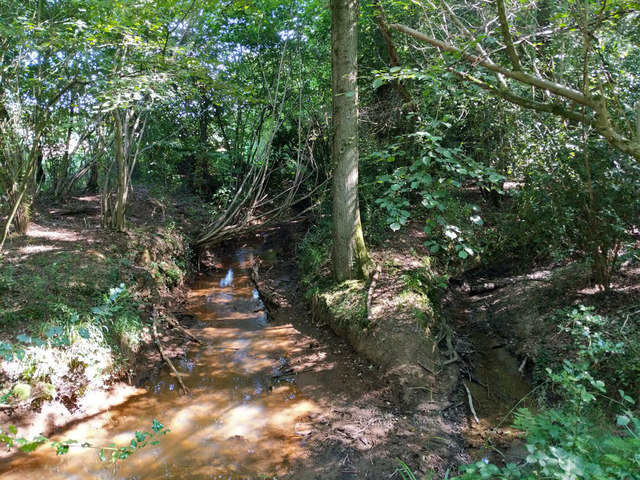
Image: © Robin Webster Taken: 26 Aug 2019
Looking upstream. The Copthorne Brook comes from the left carrying iron, from the right the smaller brook has not encountered any iron. The united stream becomes the Burstow Stream at some point, if not here, a tributary of the River Mole.
Images are licensed for reuse under creativecommons.org/licenses/by-sa/2.0
Image Location
Latitude
51.139361
Longitude
-0.135705