Terraced rows in Grange Villa
Introduction
The photograph on this page of Terraced rows in Grange Villa by Robert Graham as part of the Geograph project.
The Geograph project started in 2005 with the aim of publishing, organising and preserving representative images for every square kilometre of Great Britain, Ireland and the Isle of Man.

There are currently over 7.5m images from over 14,400 individuals and you can help contribute to the project by visiting https://www.geograph.org.uk
Terraced rows in Grange Villa
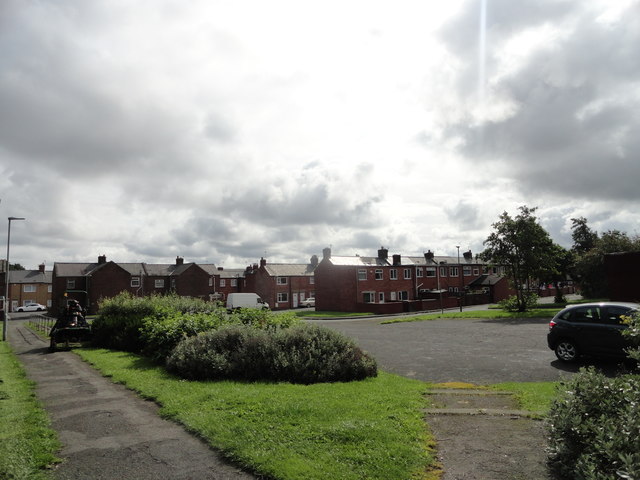
Image: © Robert Graham Taken: 12 Aug 2019
A view of the rows of ex-miners houses in this little village near Chester le Street. These rows of early C20 terraces are very typical of the ex-mining villages in this part of Co Durham.
Images are licensed for reuse under creativecommons.org/licenses/by-sa/2.0
Image Location
Latitude
54.864133
Longitude
-1.638365