Littlebury churchyard and King's Mill
Introduction
The photograph on this page of Littlebury churchyard and King's Mill by John Sutton as part of the Geograph project.
The Geograph project started in 2005 with the aim of publishing, organising and preserving representative images for every square kilometre of Great Britain, Ireland and the Isle of Man.

There are currently over 7.5m images from over 14,400 individuals and you can help contribute to the project by visiting https://www.geograph.org.uk
Littlebury churchyard and King's Mill
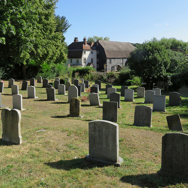
Image: © John Sutton Taken: 29 Aug 2019
This is the newest part of the churchyard, at the bottom of the hill. The 18th-century Grade II listed mill and mill house are on the other side of Mill Road - for a closer look, see Image
Images are licensed for reuse under creativecommons.org/licenses/by-sa/2.0
Image Location


Leaflet Map data © OpenStreetMap
Latitude
52.033405
Longitude
0.211502