Citypark
Introduction
The photograph on this page of Citypark by Richard Sutcliffe as part of the Geograph project.
The Geograph project started in 2005 with the aim of publishing, organising and preserving representative images for every square kilometre of Great Britain, Ireland and the Isle of Man.

There are currently over 7.5m images from over 14,400 individuals and you can help contribute to the project by visiting https://www.geograph.org.uk
Citypark
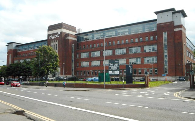
Image: © Richard Sutcliffe Taken: 23 Aug 2019
Originally built as W.D. and H.O. Wills Tobacco factory, and completed in 1953. It is Category B listed, and is today used as office space.
Images are licensed for reuse under creativecommons.org/licenses/by-sa/2.0
Image Location
Latitude
55.864092
Longitude
-4.223278