Housing development, Worcester
Introduction
The photograph on this page of Housing development, Worcester by Chris Allen as part of the Geograph project.
The Geograph project started in 2005 with the aim of publishing, organising and preserving representative images for every square kilometre of Great Britain, Ireland and the Isle of Man.

There are currently over 7.5m images from over 14,400 individuals and you can help contribute to the project by visiting https://www.geograph.org.uk
Housing development, Worcester
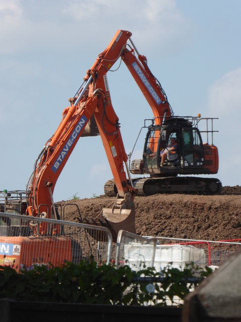
Image: © Chris Allen Taken: 15 Jul 2019
Off Newtown road and near the service reservoir. Quite close to one of the highest points in Worcester. The excavators look like they could be engaged in some sort of courtship dance.
Images are licensed for reuse under creativecommons.org/licenses/by-sa/2.0
Image Location
Latitude
52.195432
Longitude
-2.184292