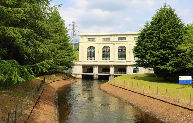
Rannoch hydro-electric power station
Introduction
The photograph on this page of Rannoch hydro-electric power station by Bill Kasman as part of the Geograph project.
The Geograph project started in 2005 with the aim of publishing, organising and preserving representative images for every square kilometre of Great Britain, Ireland and the Isle of Man.
There are currently over 7.5m images from over 14,400 individuals and you can help contribute to the project by visiting https://www.geograph.org.uk

Image: © Bill Kasman Taken: 23 Jun 2019
In operation since 1930 Rannoch hydro-electric power station gets its water from Loch Ericht which is four miles or so to its north. The water reaches the power station by a system of tunnels and pipes the latter part of which is visible on the hillside above the power station Image Producing 44.1MW of electricity this power station is part of the Tummel Valley Scheme which consists of nine different power stations some of which 'share' water which flows from one reservoir to another.

