The B730
Introduction
The photograph on this page of The B730 by Malcolm Neal as part of the Geograph project.
The Geograph project started in 2005 with the aim of publishing, organising and preserving representative images for every square kilometre of Great Britain, Ireland and the Isle of Man.

There are currently over 7.5m images from over 14,400 individuals and you can help contribute to the project by visiting https://www.geograph.org.uk
The B730
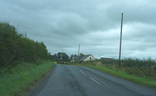
Image: © Malcolm Neal Taken: 28 Aug 2019
A minor road leaving Dundonald is still quite dull as the clouds are still low and threatening.
Images are licensed for reuse under creativecommons.org/licenses/by-sa/2.0
Image Location
Latitude
55.572994
Longitude
-4.584676