Coronation Terrace, Grange Villa
Introduction
The photograph on this page of Coronation Terrace, Grange Villa by Robert Graham as part of the Geograph project.
The Geograph project started in 2005 with the aim of publishing, organising and preserving representative images for every square kilometre of Great Britain, Ireland and the Isle of Man.

There are currently over 7.5m images from over 14,400 individuals and you can help contribute to the project by visiting https://www.geograph.org.uk
Coronation Terrace, Grange Villa
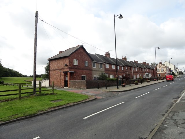
Image: © Robert Graham Taken: 12 Aug 2019
This street must be named for the coronation of either Edward VII in 1902, or George V in 1911. I suspect it's the latter. The first houses in this old pit village were built in the 4th quarter of the C19, but most of the present village dates from the period between 1900 and the First World War. This view is along the main village street.
Images are licensed for reuse under creativecommons.org/licenses/by-sa/2.0
Image Location
Latitude
54.862326
Longitude
-1.634954