Sundial,'Thirteen', Bridge Street, Mansfield
Introduction
The photograph on this page of Sundial,'Thirteen', Bridge Street, Mansfield by Alan Murray-Rust as part of the Geograph project.
The Geograph project started in 2005 with the aim of publishing, organising and preserving representative images for every square kilometre of Great Britain, Ireland and the Isle of Man.

There are currently over 7.5m images from over 14,400 individuals and you can help contribute to the project by visiting https://www.geograph.org.uk
Sundial,'Thirteen', Bridge Street, Mansfield
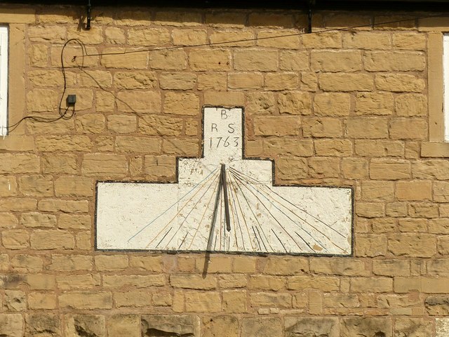
Image: © Alan Murray-Rust Taken: 21 Aug 2019
See http://www.geograph.org.uk/photo/6249487 for location. The sundial is dated 1763 but the building is considerably older.
Images are licensed for reuse under creativecommons.org/licenses/by-sa/2.0
Image Location
Latitude
53.143945
Longitude
-1.192195