Sandstone outcrop at The Breck
Introduction
The photograph on this page of Sandstone outcrop at The Breck by Sue Adair as part of the Geograph project.
The Geograph project started in 2005 with the aim of publishing, organising and preserving representative images for every square kilometre of Great Britain, Ireland and the Isle of Man.

There are currently over 7.5m images from over 14,400 individuals and you can help contribute to the project by visiting https://www.geograph.org.uk
Sandstone outcrop at The Breck
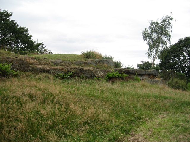
Image: © Sue Adair Taken: 20 Aug 2019
The Breck, heathland adjacent to the old Wallasey Mill formerly a sandstone quarry owned by Sir John Tobin of Liscard Hall.
Images are licensed for reuse under creativecommons.org/licenses/by-sa/2.0
Image Location
Latitude
53.417676
Longitude
-3.058313