Mansfield Viaduct
Introduction
The photograph on this page of Mansfield Viaduct by Alan Murray-Rust as part of the Geograph project.
The Geograph project started in 2005 with the aim of publishing, organising and preserving representative images for every square kilometre of Great Britain, Ireland and the Isle of Man.

There are currently over 7.5m images from over 14,400 individuals and you can help contribute to the project by visiting https://www.geograph.org.uk
Mansfield Viaduct
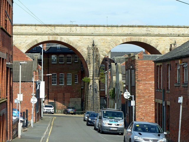
Image: © Alan Murray-Rust Taken: 21 Aug 2019
The viaduct, built in the 1870s and Listed Grade II, strides through the centre of the town. This is the view down Dame Flogan Street.
Images are licensed for reuse under creativecommons.org/licenses/by-sa/2.0
Image Location
Latitude
53.143343
Longitude
-1.196243