St Roch's Primary School
Introduction
The photograph on this page of St Roch's Primary School by Richard Sutcliffe as part of the Geograph project.
The Geograph project started in 2005 with the aim of publishing, organising and preserving representative images for every square kilometre of Great Britain, Ireland and the Isle of Man.

There are currently over 7.5m images from over 14,400 individuals and you can help contribute to the project by visiting https://www.geograph.org.uk
St Roch's Primary School
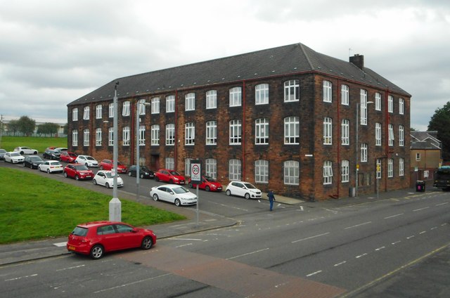
Image: © Richard Sutcliffe Taken: 23 Aug 2019
A substantial building at the junction of Royston Road and Brodick Street. It, together with St Roch’s Church across the road were built in 1907.
Images are licensed for reuse under creativecommons.org/licenses/by-sa/2.0
Image Location
Latitude
55.870936
Longitude
-4.22255