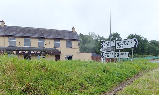
Direction signs at the Mountain House Cross Roads
Introduction
The photograph on this page of Direction signs at the Mountain House Cross Roads by Eric Jones as part of the Geograph project.
The Geograph project started in 2005 with the aim of publishing, organising and preserving representative images for every square kilometre of Great Britain, Ireland and the Isle of Man.
There are currently over 7.5m images from over 14,400 individuals and you can help contribute to the project by visiting https://www.geograph.org.uk

Image: © Eric Jones Taken: 20 Aug 2019
The B134 bridges a deep ethnic and religious fault line linking as it does, in the north, Markethill - the epitome of a Loyalist town with 80% of its population recorded as having a Protestant background (2011 Census) with, in the south, Forkhill - a Republican stronghold with 94% of its population being of Roman Catholic background. The A25 links Newtownhamilton, formerly a Protestant town, now 62% Catholic with Newry a city with 88.3% of its population having a Catholic background. Some of the worst atrocities of the Northern Ireland troubles occurred within an 8 mile radius of this cross roads.

