Hengoed Primary School
Introduction
The photograph on this page of Hengoed Primary School by Jaggery as part of the Geograph project.
The Geograph project started in 2005 with the aim of publishing, organising and preserving representative images for every square kilometre of Great Britain, Ireland and the Isle of Man.

There are currently over 7.5m images from over 14,400 individuals and you can help contribute to the project by visiting https://www.geograph.org.uk
Hengoed Primary School
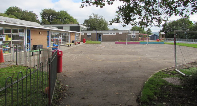
Image: © Jaggery Taken: 23 Aug 2019
On the east side of Hengoed Road. Viewed in August 2019 when the school is closed during the long summer holidays. Autumn Term starts in early September.
Images are licensed for reuse under creativecommons.org/licenses/by-sa/2.0
Image Location
Latitude
51.650204
Longitude
-3.231864