A361, north of Swimbridge
Introduction
The photograph on this page of A361, north of Swimbridge by Roger Cornfoot as part of the Geograph project.
The Geograph project started in 2005 with the aim of publishing, organising and preserving representative images for every square kilometre of Great Britain, Ireland and the Isle of Man.

There are currently over 7.5m images from over 14,400 individuals and you can help contribute to the project by visiting https://www.geograph.org.uk
A361, north of Swimbridge
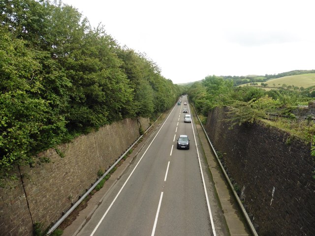
Image: © Roger Cornfoot Taken: 19 Aug 2019
Site of former Swimbridge railway station, on the Taunton to Barnstaple line.
Images are licensed for reuse under creativecommons.org/licenses/by-sa/2.0
Image Location
Latitude
51.056645
Longitude
-3.966752