Flattened oats near Methven
Introduction
The photograph on this page of Flattened oats near Methven by Richard Webb as part of the Geograph project.
The Geograph project started in 2005 with the aim of publishing, organising and preserving representative images for every square kilometre of Great Britain, Ireland and the Isle of Man.

There are currently over 7.5m images from over 14,400 individuals and you can help contribute to the project by visiting https://www.geograph.org.uk
Flattened oats near Methven
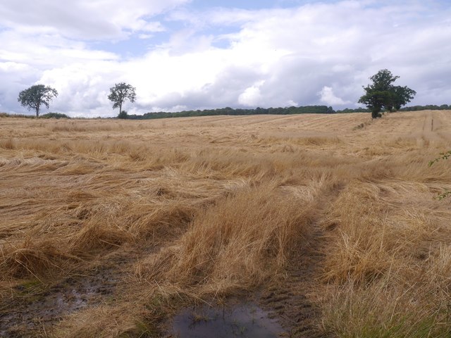
Image: © Richard Webb Taken: 20 Aug 2019
A common sight in the wet summer of 2019. Often the result of heavy rainfall during thunderstorms like the one about to break out at this time. Oats are particularly prone to ending up prone.
Images are licensed for reuse under creativecommons.org/licenses/by-sa/2.0
Image Location
Latitude
56.406775
Longitude
-3.595994