The Barr Road running south-west between wildscape and cultivated grassland
Introduction
The photograph on this page of The Barr Road running south-west between wildscape and cultivated grassland by Eric Jones as part of the Geograph project.
The Geograph project started in 2005 with the aim of publishing, organising and preserving representative images for every square kilometre of Great Britain, Ireland and the Isle of Man.

There are currently over 7.5m images from over 14,400 individuals and you can help contribute to the project by visiting https://www.geograph.org.uk
The Barr Road running south-west between wildscape and cultivated grassland
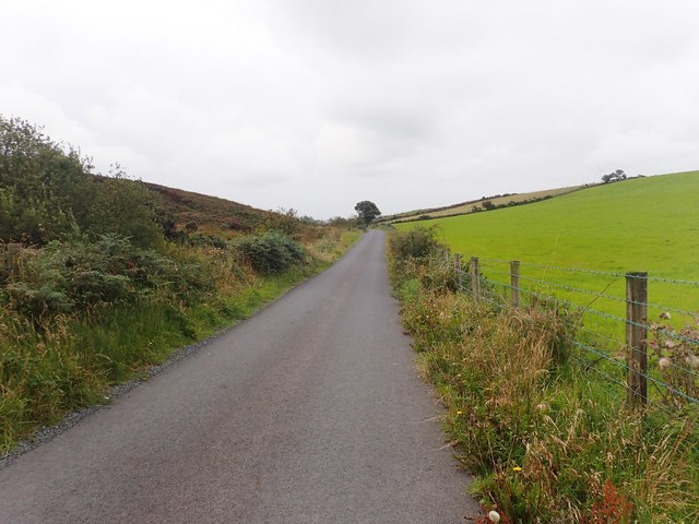
Image: © Eric Jones Taken: 20 Aug 2019
The steeper land on the east side of the road is un-reclaimed heathland - the gentler land on the west side has been reclaimed in recent years and produces excellent crops of cultivated grassland.
Images are licensed for reuse under creativecommons.org/licenses/by-sa/2.0
Image Location
Latitude
54.16794
Longitude
-6.47314