Information board outside a disused church, Cefn Hengoed
Introduction
The photograph on this page of Information board outside a disused church, Cefn Hengoed by Jaggery as part of the Geograph project.
The Geograph project started in 2005 with the aim of publishing, organising and preserving representative images for every square kilometre of Great Britain, Ireland and the Isle of Man.

There are currently over 7.5m images from over 14,400 individuals and you can help contribute to the project by visiting https://www.geograph.org.uk
Information board outside a disused church, Cefn Hengoed
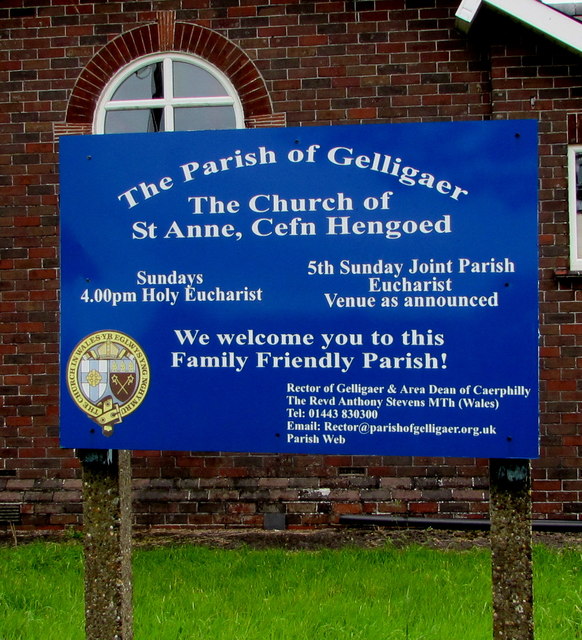
Image: © Jaggery Taken: 22 Aug 2019
Located here. https://www.geograph.org.uk/photo/6247604 Viewed in August 2019 when several online references state that St Anne's in Cefn Hengoed is a disused church.
Images are licensed for reuse under creativecommons.org/licenses/by-sa/2.0
Image Location
Latitude
51.658075
Longitude
-3.235836