First houses in Woodgate development, Pease Pottage
Introduction
The photograph on this page of First houses in Woodgate development, Pease Pottage by Robin Webster as part of the Geograph project.
The Geograph project started in 2005 with the aim of publishing, organising and preserving representative images for every square kilometre of Great Britain, Ireland and the Isle of Man.

There are currently over 7.5m images from over 14,400 individuals and you can help contribute to the project by visiting https://www.geograph.org.uk
First houses in Woodgate development, Pease Pottage
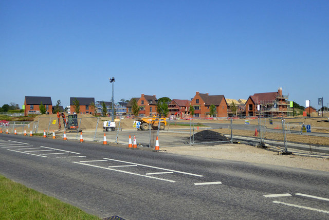
Image: © Robin Webster Taken: 25 Aug 2019
Planned to have 619 homes, this is yet another development just outside the Crawley Borough boundary but parasitic on its facilities. Some of the site was a field used for a regular boot sale.
Images are licensed for reuse under creativecommons.org/licenses/by-sa/2.0
Image Location
Latitude
51.08418
Longitude
-0.195322