The west end of St Aelhaearn's church
Introduction
The photograph on this page of The west end of St Aelhaearn's church by John S Turner as part of the Geograph project.
The Geograph project started in 2005 with the aim of publishing, organising and preserving representative images for every square kilometre of Great Britain, Ireland and the Isle of Man.

There are currently over 7.5m images from over 14,400 individuals and you can help contribute to the project by visiting https://www.geograph.org.uk
The west end of St Aelhaearn's church
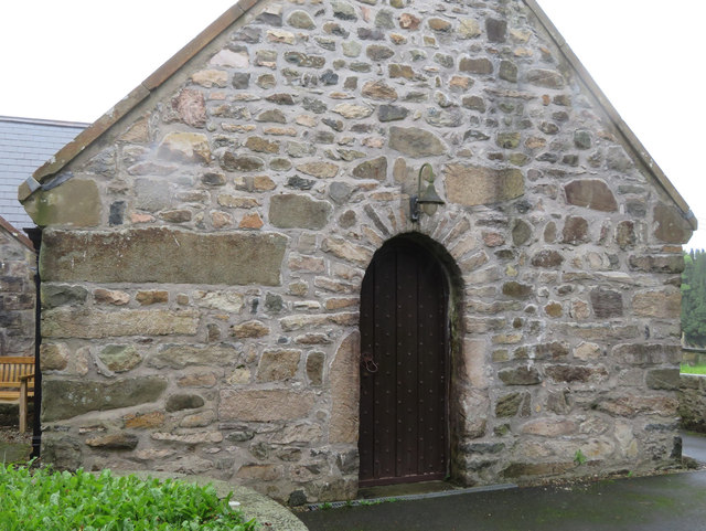
Image: © John S Turner Taken: 23 Aug 2019
The west end and main door of St Aelhaearn's church, Llanaelhaearn. There is an Ordnance Survey bench mark to the left of the door, but it is no longer recorded on the O.S. database: Image The church has three inscribed Roman stones in its churchyard.
Images are licensed for reuse under creativecommons.org/licenses/by-sa/2.0
Image Location
Latitude
52.976298
Longitude
-4.403907