Brookfield Farm, Weston Road
Introduction
The photograph on this page of Brookfield Farm, Weston Road by Sue Adair as part of the Geograph project.
The Geograph project started in 2005 with the aim of publishing, organising and preserving representative images for every square kilometre of Great Britain, Ireland and the Isle of Man.

There are currently over 7.5m images from over 14,400 individuals and you can help contribute to the project by visiting https://www.geograph.org.uk
Brookfield Farm, Weston Road
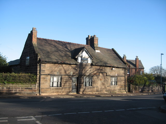
Image: © Sue Adair Taken: 23 Nov 2007
Stone farmhouse dated 1691 on Weston Road, Higher Runcorn.
Images are licensed for reuse under creativecommons.org/licenses/by-sa/2.0
Image Location


Leaflet Map data © OpenStreetMap
Latitude
53.334135
Longitude
-2.740884