Railway line west of Farnham
Introduction
The photograph on this page of Railway line west of Farnham by Derek Harper as part of the Geograph project.
The Geograph project started in 2005 with the aim of publishing, organising and preserving representative images for every square kilometre of Great Britain, Ireland and the Isle of Man.

There are currently over 7.5m images from over 14,400 individuals and you can help contribute to the project by visiting https://www.geograph.org.uk
Railway line west of Farnham
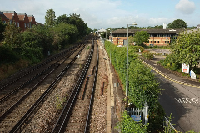
Image: © Derek Harper Taken: 17 Aug 2019
Looking the other way from where Image] was taken. On the right is Farnham Business Park, on the left are houses on Hopfields Close. Down the line is a railway carriage shed.
Images are licensed for reuse under creativecommons.org/licenses/by-sa/2.0
Image Location
Latitude
51.206216
Longitude
-0.806118