Track to Twyn-giden
Introduction
The photograph on this page of Track to Twyn-giden by Graham Horn as part of the Geograph project.
The Geograph project started in 2005 with the aim of publishing, organising and preserving representative images for every square kilometre of Great Britain, Ireland and the Isle of Man.

There are currently over 7.5m images from over 14,400 individuals and you can help contribute to the project by visiting https://www.geograph.org.uk
Track to Twyn-giden
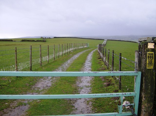
Image: © Graham Horn Taken: 1 Dec 2007
The centre of the square is a plateau, gently falling off on all sides except here at the east. The farm Twyn-giden is slightly to the south-west and one of the farm buildings can just be seen to the far left. Despite the sign this is not the public right of way.
Images are licensed for reuse under creativecommons.org/licenses/by-sa/2.0
Image Location


Leaflet Map data © OpenStreetMap
Latitude
51.698669
Longitude
-3.290481