Spilsted Farm Airfield (3)
Introduction
The photograph on this page of Spilsted Farm Airfield (3) by Simon Carey as part of the Geograph project.
The Geograph project started in 2005 with the aim of publishing, organising and preserving representative images for every square kilometre of Great Britain, Ireland and the Isle of Man.

There are currently over 7.5m images from over 14,400 individuals and you can help contribute to the project by visiting https://www.geograph.org.uk
Spilsted Farm Airfield (3)
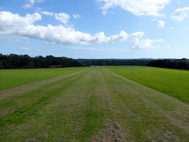
Image: © Simon Carey Taken: 20 Aug 2019
Looking down the grass runway at the point where it is crossed by the public bridleway. This section to the south of the public footpath contains the former fields: Ricards Field which was to the west adjacent to the A21 and Eighteen Acres to the east
Images are licensed for reuse under creativecommons.org/licenses/by-sa/2.0
Image Location


Leaflet Map data © OpenStreetMap
Latitude
50.935554
Longitude
0.521393