River Wey
Introduction
The photograph on this page of River Wey by Robin Webster as part of the Geograph project.
The Geograph project started in 2005 with the aim of publishing, organising and preserving representative images for every square kilometre of Great Britain, Ireland and the Isle of Man.

There are currently over 7.5m images from over 14,400 individuals and you can help contribute to the project by visiting https://www.geograph.org.uk
River Wey
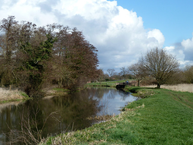
Image: © Robin Webster Taken: 18 Mar 2012
Here the river and the navigation coincide, but the cut is artificial, as during land drainage improvement work in the 1930s a meander to the left was bypassed.
Images are licensed for reuse under creativecommons.org/licenses/by-sa/2.0
Image Location


Leaflet Map data © OpenStreetMap
Latitude
51.287167
Longitude
-0.545465