The Granary Club
Introduction
The photograph on this page of The Granary Club by Gerald England as part of the Geograph project.
The Geograph project started in 2005 with the aim of publishing, organising and preserving representative images for every square kilometre of Great Britain, Ireland and the Isle of Man.

There are currently over 7.5m images from over 14,400 individuals and you can help contribute to the project by visiting https://www.geograph.org.uk
The Granary Club
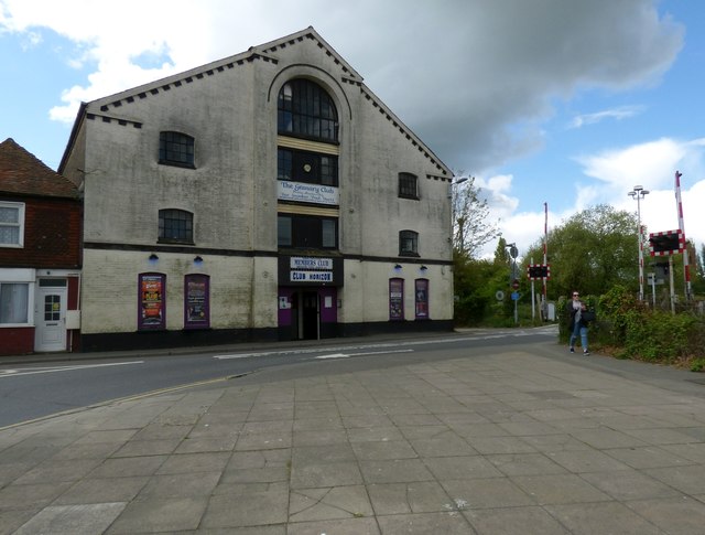
Image: © Gerald England Taken: 26 Apr 2017
On the B2089 Ferry Road, near the Marshlink Level Crossing. Previously known as the Oasis it has since closed for redevelopment into flats. https://www.ryenews.org.uk/news/granary-club-closure
Images are licensed for reuse under creativecommons.org/licenses/by-sa/2.0
Image Location
Latitude
50.951212
Longitude
0.72899