Barn on the Duburren Road
Introduction
The photograph on this page of Barn on the Duburren Road by Eric Jones as part of the Geograph project.
The Geograph project started in 2005 with the aim of publishing, organising and preserving representative images for every square kilometre of Great Britain, Ireland and the Isle of Man.

There are currently over 7.5m images from over 14,400 individuals and you can help contribute to the project by visiting https://www.geograph.org.uk
Barn on the Duburren Road
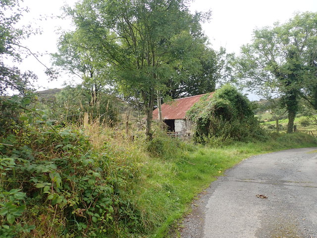
Image: © Eric Jones Taken: 20 Aug 2019
This is one a range of disused buildings along this road. In 1901 the Townland of Duburren had 111 inhabitants, the population being 100% Roman Catholic.
Images are licensed for reuse under creativecommons.org/licenses/by-sa/2.0
Image Location
Latitude
54.169848
Longitude
-6.460667