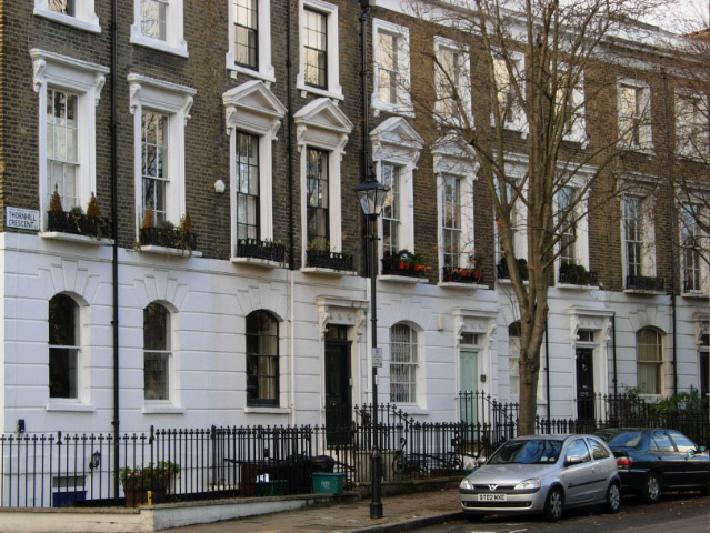
Thornhill Crescent, Barnsbury
Introduction
The photograph on this page of Thornhill Crescent, Barnsbury by Stephen McKay as part of the Geograph project.
The Geograph project started in 2005 with the aim of publishing, organising and preserving representative images for every square kilometre of Great Britain, Ireland and the Isle of Man.
There are currently over 7.5m images from over 14,400 individuals and you can help contribute to the project by visiting https://www.geograph.org.uk

Image: © Stephen McKay Taken: 29 Nov 2007
Unlike the areas to the west of Caledonian Road and south of Copenhagen Street (which are now occupied by local authority built housing estates), this area has retained its 19th century houses. The attractive terraces were extensively bought up and renovated by middle-class incomers from the 1970s onwards, a process referred to as gentrification. Thornhill Crescent curves round St Andrew's Church at the north end of Thornhill Square.

