Worsfold Gates, Wey Navigation
Introduction
The photograph on this page of Worsfold Gates, Wey Navigation by Robin Webster as part of the Geograph project.
The Geograph project started in 2005 with the aim of publishing, organising and preserving representative images for every square kilometre of Great Britain, Ireland and the Isle of Man.

There are currently over 7.5m images from over 14,400 individuals and you can help contribute to the project by visiting https://www.geograph.org.uk
Worsfold Gates, Wey Navigation
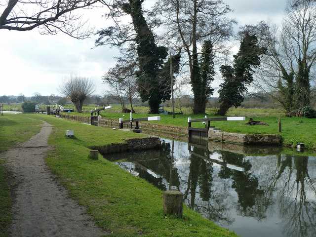
Image: © Robin Webster Taken: 18 Mar 2012
A flood lock where the navigation leaves the river. Normally both sets of gates are open, as here. The paddle gear is primitive, it appears they have to be raised by physically lifting them. Levering with a crowbar has been mentioned, but how is not obvious.
Images are licensed for reuse under creativecommons.org/licenses/by-sa/2.0
Image Location
Latitude
51.291199
Longitude
-0.544333