Looking along Pelton Lane
Introduction
The photograph on this page of Looking along Pelton Lane by Robert Graham as part of the Geograph project.
The Geograph project started in 2005 with the aim of publishing, organising and preserving representative images for every square kilometre of Great Britain, Ireland and the Isle of Man.

There are currently over 7.5m images from over 14,400 individuals and you can help contribute to the project by visiting https://www.geograph.org.uk
Looking along Pelton Lane
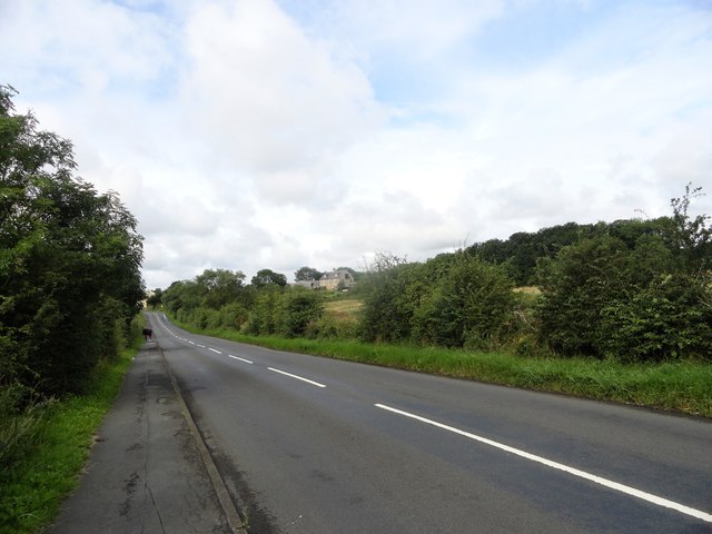
Image: © Robert Graham Taken: 12 Aug 2019
Looking west towards Grange Villa. On the right is Pelton Grange Farm, which gave its name to the C19 mining village.
Images are licensed for reuse under creativecommons.org/licenses/by-sa/2.0
Image Location
Latitude
54.86286
Longitude
-1.633391