Contractor's access to St Richard's Hopsice
Introduction
The photograph on this page of Contractor's access to St Richard's Hopsice by Chris Allen as part of the Geograph project.
The Geograph project started in 2005 with the aim of publishing, organising and preserving representative images for every square kilometre of Great Britain, Ireland and the Isle of Man.

There are currently over 7.5m images from over 14,400 individuals and you can help contribute to the project by visiting https://www.geograph.org.uk
Contractor's access to St Richard's Hopsice
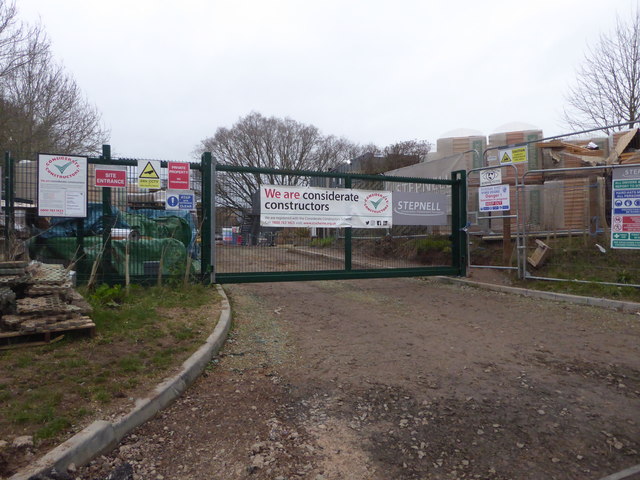
Image: © Chris Allen Taken: 13 Jan 2019
The hospice was undergoing an extension and this appeared to be the access for the contractor.
Images are licensed for reuse under creativecommons.org/licenses/by-sa/2.0
Image Location
Latitude
52.184201
Longitude
-2.179857