Malmains Road, Dover
Introduction
The photograph on this page of Malmains Road, Dover by Tim Heaton as part of the Geograph project.
The Geograph project started in 2005 with the aim of publishing, organising and preserving representative images for every square kilometre of Great Britain, Ireland and the Isle of Man.

There are currently over 7.5m images from over 14,400 individuals and you can help contribute to the project by visiting https://www.geograph.org.uk
Malmains Road, Dover
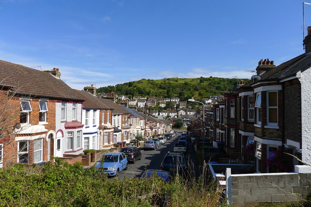
Image: © Tim Heaton Taken: 8 Aug 2019
The path from Church Hougham along West Down enters Dover here. The road's name derives from the Norman Malmaines who settled in Kent
Images are licensed for reuse under creativecommons.org/licenses/by-sa/2.0
Image Location
Latitude
51.121687
Longitude
1.289999