Directions signs alongside St Peter Street, Tiverton
Introduction
The photograph on this page of Directions signs alongside St Peter Street, Tiverton by Jaggery as part of the Geograph project.
The Geograph project started in 2005 with the aim of publishing, organising and preserving representative images for every square kilometre of Great Britain, Ireland and the Isle of Man.

There are currently over 7.5m images from over 14,400 individuals and you can help contribute to the project by visiting https://www.geograph.org.uk
Directions signs alongside St Peter Street, Tiverton
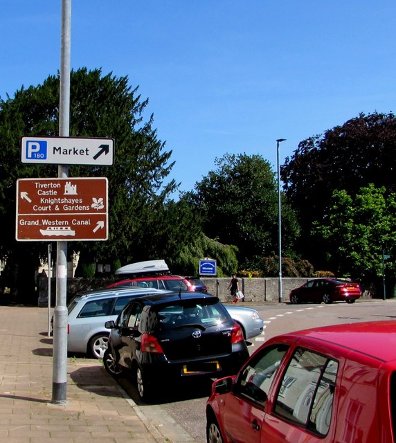
Image: © Jaggery Taken: 23 Jul 2019
Right for the market, a 180 capacity car park and the Grand Western Canal. Left for Tiverton Castle and Knightshayes Court & Gardens.
Images are licensed for reuse under creativecommons.org/licenses/by-sa/2.0
Image Location
Latitude
50.904716
Longitude
-3.488991