View of Woodlands Park Farm
Introduction
The photograph on this page of View of Woodlands Park Farm by Robert Graham as part of the Geograph project.
The Geograph project started in 2005 with the aim of publishing, organising and preserving representative images for every square kilometre of Great Britain, Ireland and the Isle of Man.

There are currently over 7.5m images from over 14,400 individuals and you can help contribute to the project by visiting https://www.geograph.org.uk
View of Woodlands Park Farm
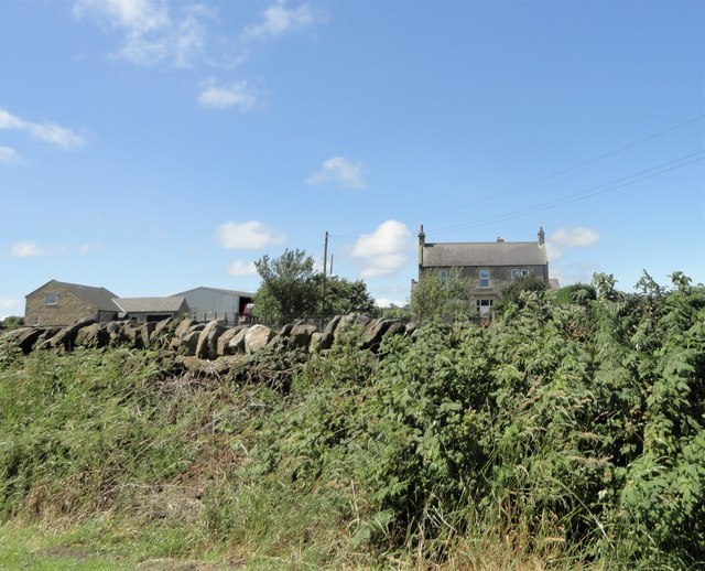
Image: © Robert Graham Taken: 23 Jul 2019
Looking west from Butsfield Lane. A farmstead established in the C20, rather surprisingly. It looks older but probably dates from the 1930's. It must have been deliberately built in a traditional style.
Images are licensed for reuse under creativecommons.org/licenses/by-sa/2.0
Image Location
Latitude
54.818167
Longitude
-1.818983