Hard standing, Ley Farm
Introduction
The photograph on this page of Hard standing, Ley Farm by Richard Webb as part of the Geograph project.
The Geograph project started in 2005 with the aim of publishing, organising and preserving representative images for every square kilometre of Great Britain, Ireland and the Isle of Man.

There are currently over 7.5m images from over 14,400 individuals and you can help contribute to the project by visiting https://www.geograph.org.uk
Hard standing, Ley Farm
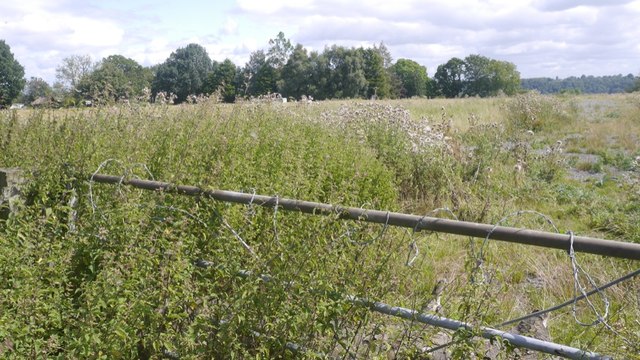
Image: © Richard Webb Taken: 15 Aug 2019
A field of thistles with hardcore beneath. Between a yellow road and the A5 Chirk bypass.
Images are licensed for reuse under creativecommons.org/licenses/by-sa/2.0
Image Location
Latitude
52.944397
Longitude
-3.04717