Hammond Way, near Staverton
Introduction
The photograph on this page of Hammond Way, near Staverton by Julian P Guffogg as part of the Geograph project.
The Geograph project started in 2005 with the aim of publishing, organising and preserving representative images for every square kilometre of Great Britain, Ireland and the Isle of Man.

There are currently over 7.5m images from over 14,400 individuals and you can help contribute to the project by visiting https://www.geograph.org.uk
Hammond Way, near Staverton
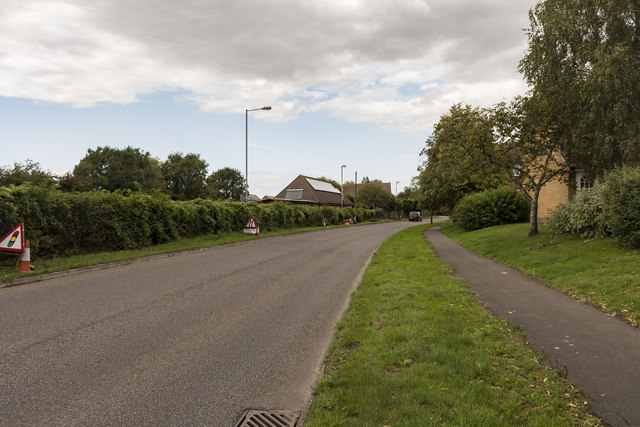
Image: © Julian P Guffogg Taken: 17 Aug 2019
The Kennet and Avon Canal runs behind the hedge.
Images are licensed for reuse under creativecommons.org/licenses/by-sa/2.0
Image Location
Latitude
51.339363
Longitude
-2.20251