Gwerthonor Road junction, Gilfach
Introduction
The photograph on this page of Gwerthonor Road junction, Gilfach by Jaggery as part of the Geograph project.
The Geograph project started in 2005 with the aim of publishing, organising and preserving representative images for every square kilometre of Great Britain, Ireland and the Isle of Man.

There are currently over 7.5m images from over 14,400 individuals and you can help contribute to the project by visiting https://www.geograph.org.uk
Gwerthonor Road junction, Gilfach
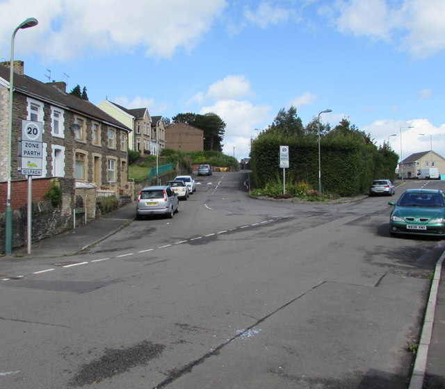
Image: © Jaggery Taken: 17 Aug 2019
Maps show that both roads ahead are Gwerthonor Road. The right fork leads to Gwerthonor Place. The left fork leads to Vere Place and Gilfach Fargoed Primary School.
Images are licensed for reuse under creativecommons.org/licenses/by-sa/2.0
Image Location
Latitude
51.675804
Longitude
-3.225761