Flush Bracket, Glastonbury
Introduction
The photograph on this page of Flush Bracket, Glastonbury by Rossographer as part of the Geograph project.
The Geograph project started in 2005 with the aim of publishing, organising and preserving representative images for every square kilometre of Great Britain, Ireland and the Isle of Man.

There are currently over 7.5m images from over 14,400 individuals and you can help contribute to the project by visiting https://www.geograph.org.uk
Flush Bracket, Glastonbury
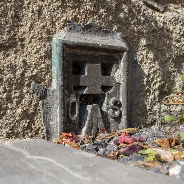
Image: © Rossographer Taken: 10 Aug 2019
Flush bracket bench mark on the south face of Glastonbury Town Hall (just to the left of the K6 phonebox in Image). Until recently this was fully visible but recent building works have half covered it (see Image - the adjacent cut mark is now totally buried). The number on the bracket is OSBM S6030. Further details at https://www.bench-marks.org.uk/bm12297 .
Images are licensed for reuse under creativecommons.org/licenses/by-sa/2.0
Image Location
Latitude
51.146708
Longitude
-2.717608