Fields either side of Rhyd-y-Gwern Lane
Introduction
The photograph on this page of Fields either side of Rhyd-y-Gwern Lane by M J Roscoe as part of the Geograph project.
The Geograph project started in 2005 with the aim of publishing, organising and preserving representative images for every square kilometre of Great Britain, Ireland and the Isle of Man.

There are currently over 7.5m images from over 14,400 individuals and you can help contribute to the project by visiting https://www.geograph.org.uk
Fields either side of Rhyd-y-Gwern Lane
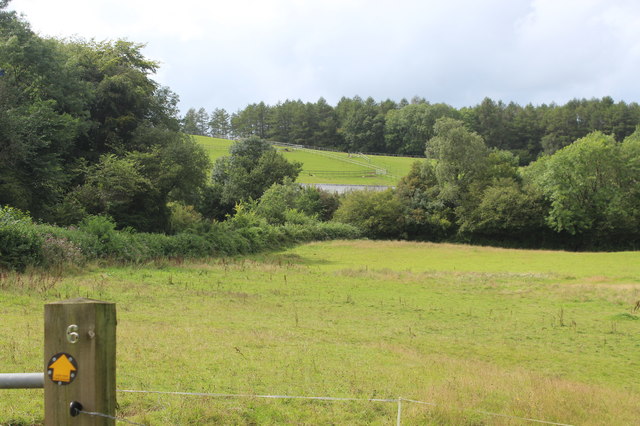
Image: © M J Roscoe Taken: 17 Aug 2019
The hedgerow on the left is on the nearside of the lane; the roof of the building (centre) is at Fferm Pont Carreg on the far side of the lane. The woodland on the skyline is part of Coed Cefn-pwll-du.
Images are licensed for reuse under creativecommons.org/licenses/by-sa/2.0
Image Location
Latitude
51.589849
Longitude
-3.135824