County boundary at Woodford Bridge
Introduction
The photograph on this page of County boundary at Woodford Bridge by Malc McDonald as part of the Geograph project.
The Geograph project started in 2005 with the aim of publishing, organising and preserving representative images for every square kilometre of Great Britain, Ireland and the Isle of Man.

There are currently over 7.5m images from over 14,400 individuals and you can help contribute to the project by visiting https://www.geograph.org.uk
County boundary at Woodford Bridge
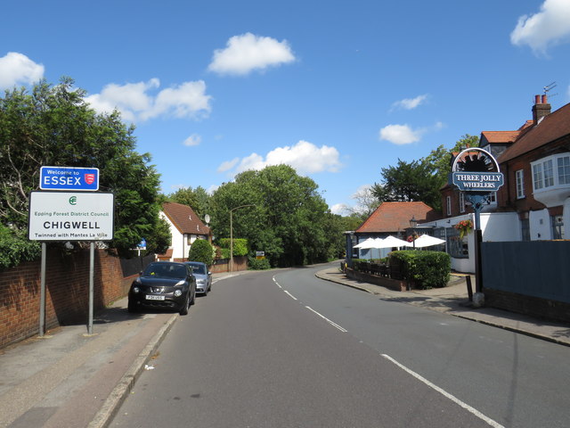
Image: © Malc McDonald Taken: 17 Aug 2019
A sign denotes the boundary between the counties of Greater London and Essex, at Woodford Bridge. The road forms part of the A113.
Images are licensed for reuse under creativecommons.org/licenses/by-sa/2.0
Image Location
Latitude
51.609042
Longitude
0.058518