Boggy field
Introduction
The photograph on this page of Boggy field by Ian Calderwood as part of the Geograph project.
The Geograph project started in 2005 with the aim of publishing, organising and preserving representative images for every square kilometre of Great Britain, Ireland and the Isle of Man.

There are currently over 7.5m images from over 14,400 individuals and you can help contribute to the project by visiting https://www.geograph.org.uk
Boggy field
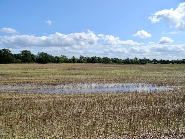
Image: © Ian Calderwood Taken: 17 Aug 2019
There was a gravel pit marked here on the 1881 Ordnance Survey map. This may explain why the field is so low-lying and boggy.
Images are licensed for reuse under creativecommons.org/licenses/by-sa/2.0
Image Location
Latitude
52.95198
Longitude
-1.515189