Nower Road, Dorking
Introduction
The photograph on this page of Nower Road, Dorking by Malc McDonald as part of the Geograph project.
The Geograph project started in 2005 with the aim of publishing, organising and preserving representative images for every square kilometre of Great Britain, Ireland and the Isle of Man.

There are currently over 7.5m images from over 14,400 individuals and you can help contribute to the project by visiting https://www.geograph.org.uk
Nower Road, Dorking
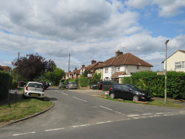
Image: © Malc McDonald Taken: 28 Jul 2019
Nower Road is a residential road in the Surrey town of Dorking. The brown signs attached to the lamp post to the right of the image indicate that this is on the route of The Greensand Way, a long-distance footpath.
Images are licensed for reuse under creativecommons.org/licenses/by-sa/2.0
Image Location
Latitude
51.225504
Longitude
-0.33803