Upper Basildon: path to Woodgreen Farm
Introduction
The photograph on this page of Upper Basildon: path to Woodgreen Farm by Stefan Czapski as part of the Geograph project.
The Geograph project started in 2005 with the aim of publishing, organising and preserving representative images for every square kilometre of Great Britain, Ireland and the Isle of Man.

There are currently over 7.5m images from over 14,400 individuals and you can help contribute to the project by visiting https://www.geograph.org.uk
Upper Basildon: path to Woodgreen Farm
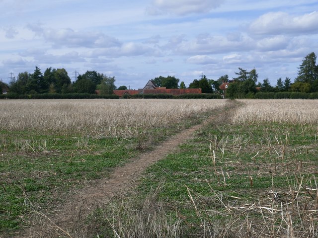
Image: © Stefan Czapski Taken: 15 Aug 2019
A contribution from Graham Horn shows the same footpath at an earlier stage in the year: https://www.geograph.org.uk/photo/1344895 while Andrew Smith's view is from the WoodgreenFarm end, looking southwards: https://www.geograph.org.uk/photo/2818480
Images are licensed for reuse under creativecommons.org/licenses/by-sa/2.0
Image Location
Latitude
51.483732
Longitude
-1.136314