Springfield Road Leek
Introduction
The photograph on this page of Springfield Road Leek by Malcolm Neal as part of the Geograph project.
The Geograph project started in 2005 with the aim of publishing, organising and preserving representative images for every square kilometre of Great Britain, Ireland and the Isle of Man.

There are currently over 7.5m images from over 14,400 individuals and you can help contribute to the project by visiting https://www.geograph.org.uk
Springfield Road Leek
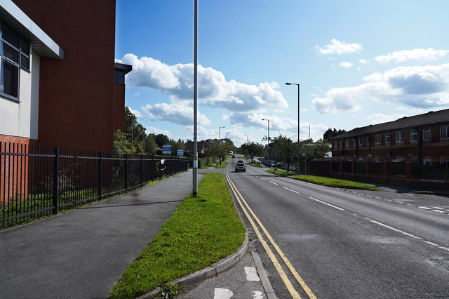
Image: © Malcolm Neal Taken: 17 Aug 2019
Springfield Road is a cut through passing a school and the fire station which stops you having to go through the town centre.
Images are licensed for reuse under creativecommons.org/licenses/by-sa/2.0
Image Location
Latitude
53.106232
Longitude
-2.012357