Sheephouse Lane, Wotton
Introduction
The photograph on this page of Sheephouse Lane, Wotton by Malc McDonald as part of the Geograph project.
The Geograph project started in 2005 with the aim of publishing, organising and preserving representative images for every square kilometre of Great Britain, Ireland and the Isle of Man.

There are currently over 7.5m images from over 14,400 individuals and you can help contribute to the project by visiting https://www.geograph.org.uk
Sheephouse Lane, Wotton
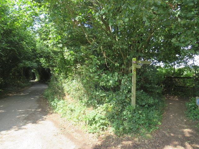
Image: © Malc McDonald Taken: 28 Jul 2019
Sheephouse Lane, in the Surrey village of Wotton. A public footpath runs parallel to the lane, separated from the road by a line of trees.
Images are licensed for reuse under creativecommons.org/licenses/by-sa/2.0
Image Location
Latitude
51.214547
Longitude
-0.383956