Huntly: parking and a glimpse of the gardens, Forder Lane, Bishopsteignton
Introduction
The photograph on this page of Huntly: parking and a glimpse of the gardens, Forder Lane, Bishopsteignton by Robin Stott as part of the Geograph project.
The Geograph project started in 2005 with the aim of publishing, organising and preserving representative images for every square kilometre of Great Britain, Ireland and the Isle of Man.

There are currently over 7.5m images from over 14,400 individuals and you can help contribute to the project by visiting https://www.geograph.org.uk
Huntly: parking and a glimpse of the gardens, Forder Lane, Bishopsteignton
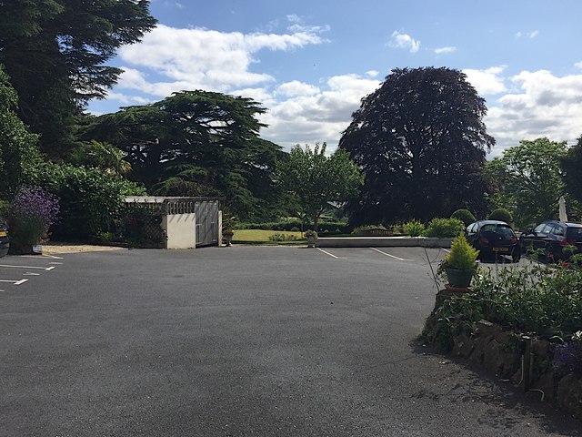
Image: © Robin Stott Taken: 20 Jul 2019
The Bishopsteignton village website https://contact94599.wixsite.com/mysite/history recounts that Huntly is the largest of several large houses in the village. "In 1878 it was established as a hydro hotel, offering Turkish baths and massages" (and named Huntley on the 1889 and 1905 OS maps). The magnificent trees may have lived for 150 years or more. "In 1950 Huntly was purchased by the Officer's Association and is now run as a home for retired officers of the armed forces." That would explain the plaque to commemorate the visit of Their Royal Highnesses the Earl and Countess of Wessex to Huntly, 25th June 2004. There are indications of a change of status since then because properties are publicly advertised for sale.
Images are licensed for reuse under creativecommons.org/licenses/by-sa/2.0
Image Location
Latitude
50.552963
Longitude
-3.546202