Sandstone building southwest of Huntly, Forder Lane, Bishopsteignton
Introduction
The photograph on this page of Sandstone building southwest of Huntly, Forder Lane, Bishopsteignton by Robin Stott as part of the Geograph project.
The Geograph project started in 2005 with the aim of publishing, organising and preserving representative images for every square kilometre of Great Britain, Ireland and the Isle of Man.

There are currently over 7.5m images from over 14,400 individuals and you can help contribute to the project by visiting https://www.geograph.org.uk
Sandstone building southwest of Huntly, Forder Lane, Bishopsteignton
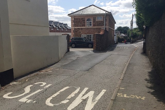
Image: © Robin Stott Taken: 20 Jul 2019
Huntly, the cream-painted building partly visible on the left, was the largest of several large houses in the village, according to the Bishopsteignton village website https://contact94599.wixsite.com/mysite/history . "In 1878 it was established as a hydro hotel, offering Turkish baths and massages" (and named Huntley on the 1889 and 1905 OS maps). At this end of the handsome building pictured in Image a high wide archway has been filled in above the ground floor window, suggesting that it was a coach house and stables, or it served the gardeners. Now it appears at least partly converted to residential accommodation.
Images are licensed for reuse under creativecommons.org/licenses/by-sa/2.0
Image Location
Latitude
50.552954
Longitude
-3.546907